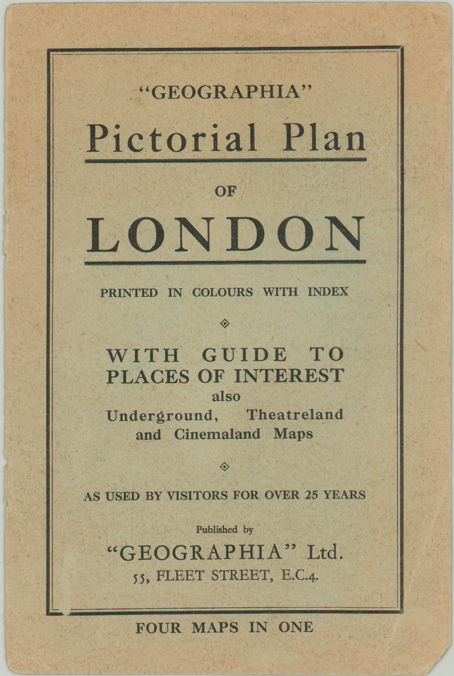
Geographia Pictorial Plan of London
$125.00
Pre-war plan of central London published by Geographia.
1 in stock
Description
This wonderful folding city plan of London was published in 1936 by Geographia, just a few years before the Blitz would forever change the landscape of England’s capital. The urban density is reflected in the illustrated profile view of each block throughout the city’s central section. Further vignettes and accompanying labels identify many of the most prominent locations of interest like the Tower, St. Paul’s, Westminster Abbey, and the British Museum.
Bright green highlights public outdoor areas like parks, squares, and cemeteries – all popular locations for recreation and amusement. Two inset maps showcase more of London’s popular cultural attractions, highlighting details of the Theater and Cinema districts.
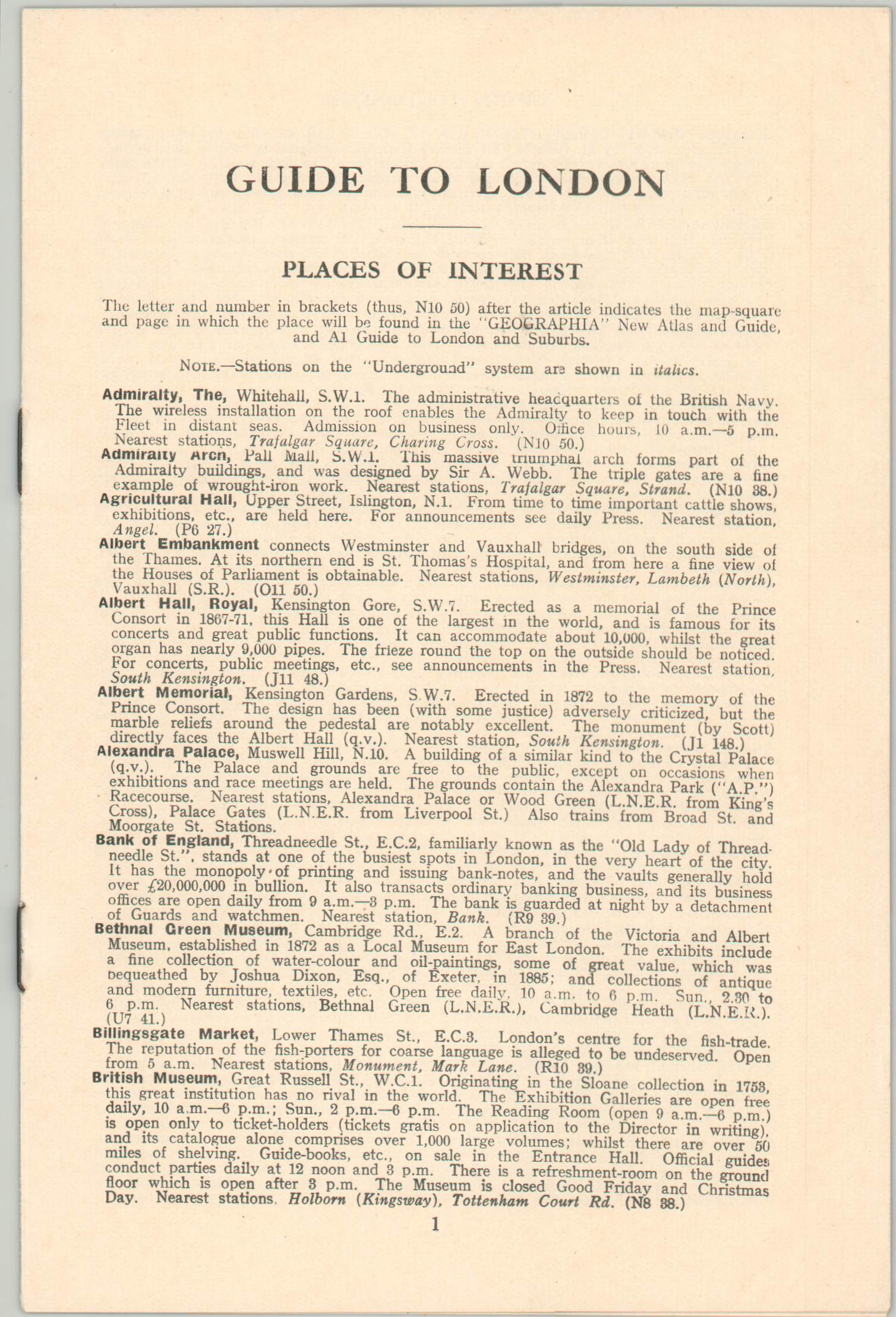
The map is accompanied by it’s original front cover and an 8 page ‘Guide to London’, which provides the publication date and a brief descriptive summary of the city’s most popular places of interest.
Map Details
Publication Date: 1936
Author: Geographia Ltd.
Sheet Width (in): 29.75
Sheet Height (in): 19.80
Condition: B+
Condition Description: Originally issued folded into 24 panels. Moderate wear, including large areas of separation, along former fold lines. Significant archival tape repairs on the verso has resulted in an image that remains almost completely intact and in good to very good condition. A bit of paper peeling along the fold lines and very minor image loss at fold intersections. Original front paper cover is separated, but present.
$125.00
1 in stock


