Franklin’s Map of Main Line Philadelphia P.A.
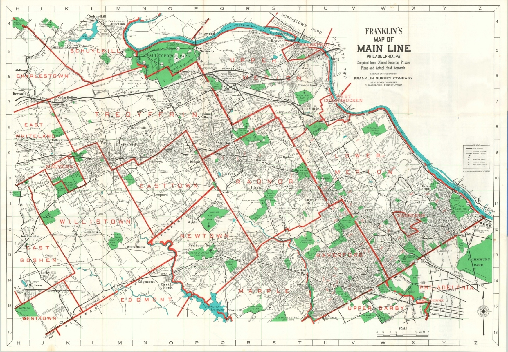
Detailed map of a popular suburb northeast of Philadelphia.
Out of stock
Description
Named after the Pennsylvania Railroad route that once ran through the area, the Philadelphia Main Line is a historic suburban region that was home to the sprawling estates of some of the city’s wealthiest families. Reflecting such demographics, this map shows an inordinate concentration of private schools, country clubs, golf courses, and other signs of the affluent class.
Published in Philadelphia by the Franklin Survey Company, likely in the late 1950s.
Map Details
Publication Date: c. 1958
Author: Franklin Survey Company
Sheet Width (in): 39.75
Sheet Height (in): 27.5
Condition: A-
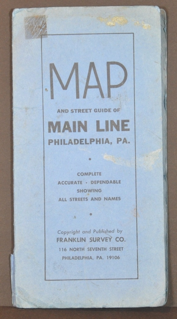
Condition Description: Folded into 30 panels and affixed to original blue paper wraps, slightly chipped but in good shape otherwise. Some wrinkling where affixed to the front cover. The sheet shows creasing along fold lines and several areas of separation at fold intersections. A bit of light discoloration is visible in the margins, consistent with age, but overall in very good condition on a bright sheet.
Out of stock


