Florida
$150.00
Florida’s transportation network from over a century ago.
1 in stock
Description
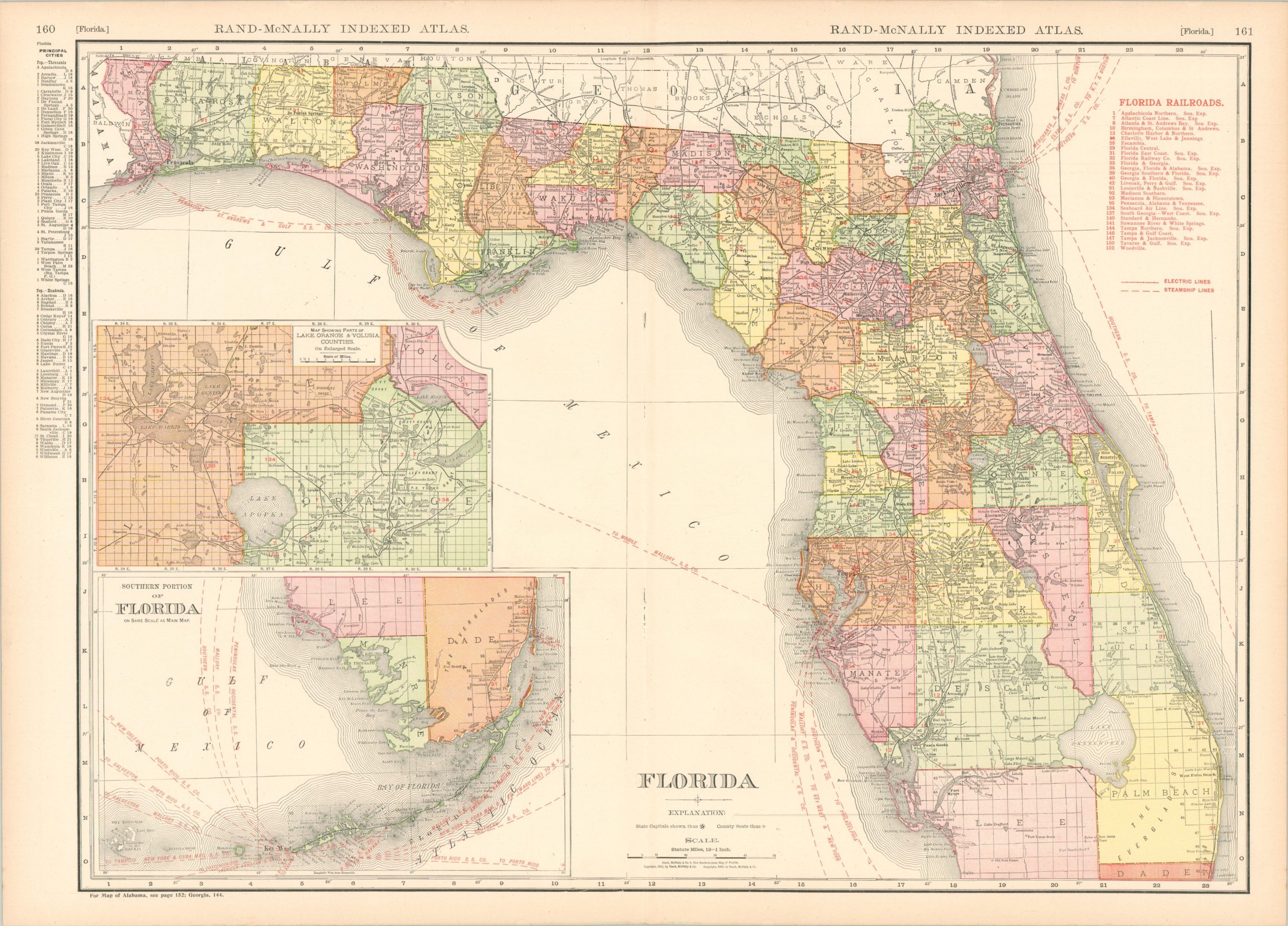
This vibrantly lithographed map was published in Chicago 1911 by Rand McNally as part of the firm’s Indexed Atlas. Colorful hues outline each county while red overprinting denotes the route of steamship lines and railroads, as well as the developing coastlines of the Florida Keys. The latter components required more regular updating, hence the secondary printing method required to issue new editions on an annual basis.
Twenty-eight separate railroads are shown in operation, plus several interurban electric lines. An inset map in the lower left show the southern tip of the Peninsula down to Key West, an important part of debarkation throughout the Caribbean. Immediately above, a second inset shows Parts of Lake, Orange and Volusia counties and includes outlines of land grants from the pre-annexation period. A list of principal cities, their population, and their location within the map is provided in the upper left.
Though omitted from the index, the city of Fort Lauderdale was first incorporated the year prior to publication and the map is one of the first such images to show the new town in the lower right corner.
Map Details
Publication Date: 1911
Author: Rand McNally
Sheet Width (in): 28.1
Sheet Height (in): 20.25
Condition: A
Condition Description: Printed on somewhat brittle paper that has lightly toned. Near fine overall.
$150.00
1 in stock

