Delaware
$100.00
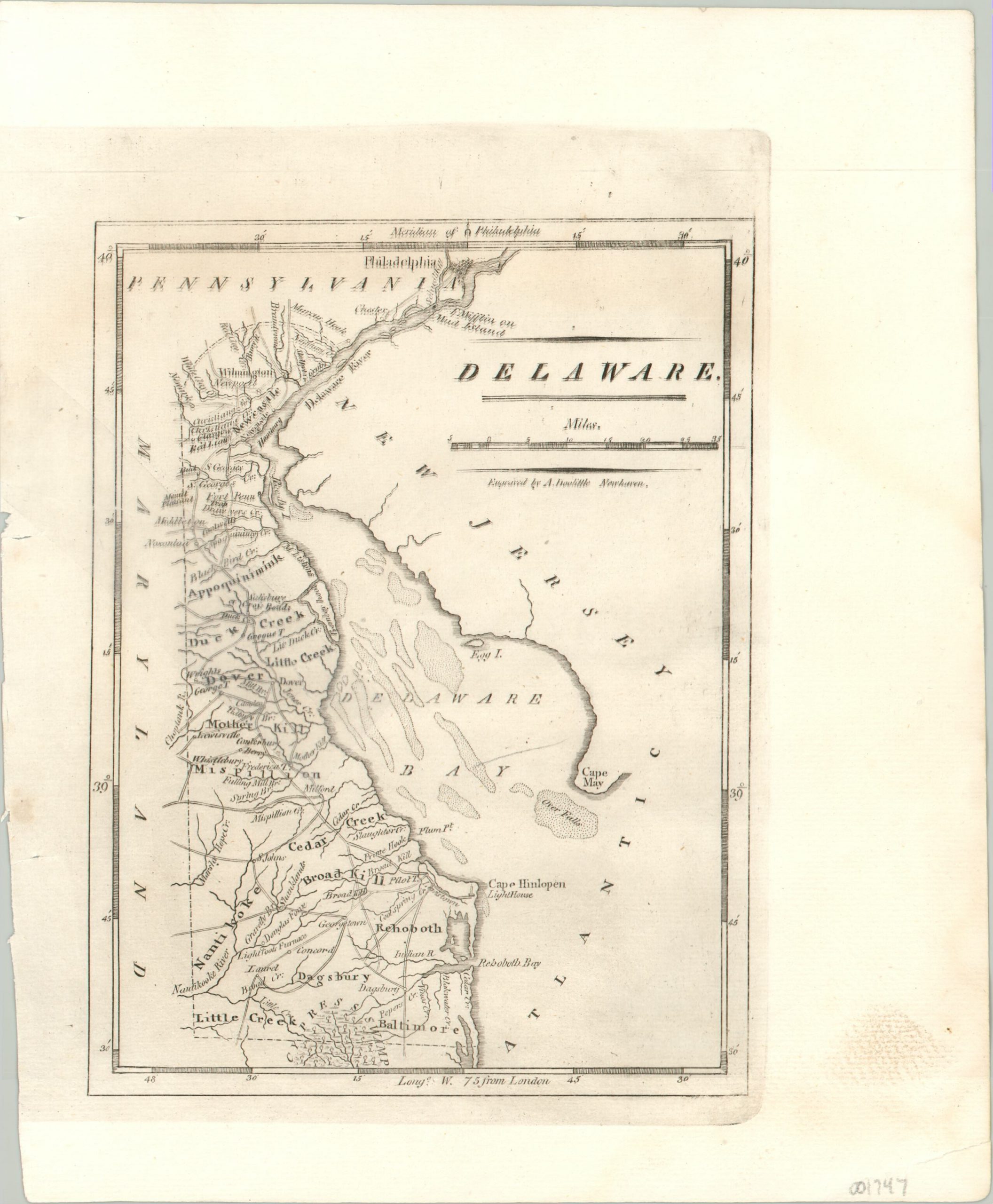
Matthew Carey & Benjamin Warner’s map of Delaware from 1820.
1 in stock
Description
The interesting geographic configuration of Delaware is shown in some detail on this early 19th century copperplate engraved map. Cities, towns, geographic features, and trading posts are labeled according to an odd configuration of text and type fonts.
Fascinating contemporary details are included within the image, such as a large cypress swamp in the south, navigational hazards in Delaware Bay, the Cape Hinlopen Lighthouse, and early industrial operations like forges and a blast furnace. The ‘Twelve Mile Arc’ – the only curved state boundary – is clearly depicted at the top of the sheet. The urban center of Philadelphia can be seen nearby, then the second largest city in the United States.
The map was engraved by Amos Doolittle in New Haven and published in Philadelphia in 1820 by Benjamin Warner and Matthew Carey, for inclusion in A General Atlas: Being a Collection of Maps of the World and Quarters…
Map Details
Publication Date: 1820
Author: Matthew Carey
Sheet Width (in): 8.40
Sheet Height (in): 10.20
Condition: B+
Condition Description: A large 4" tear entering the image diagonally on the left side of the sheet, repaired with archival tape. The image is a bit blurry at the top from a slight misprint. Otherwise in good condition and expertly cleaned.
$100.00
1 in stock

