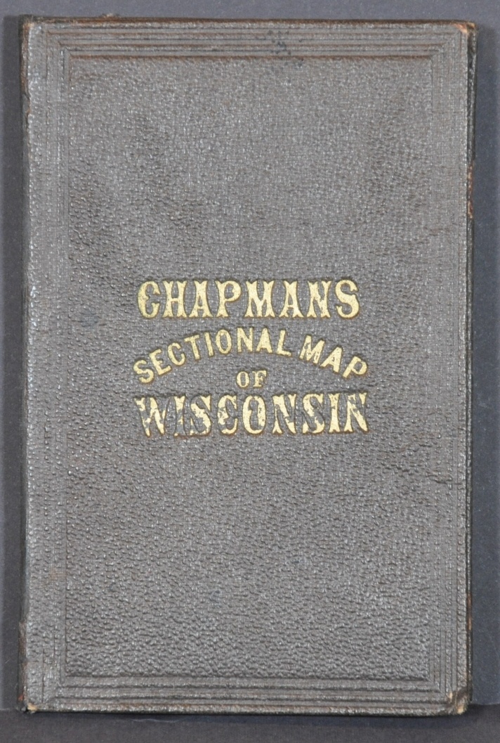
Chapman’s New Sectional Map of Wisconsin
$375.00
Wisconsin shortly after the Civil War.
1 in stock
Description
This awesome 1870 map of Wisconsin features a finely engraved image with attractive original wash color, applied by hand in a studio likely not far from the publisher’s house. It presents the state at a period of significant development in the years following the Civil War, with railroads facilitating the immigration of farmers, brewers, miners, and real estate speculators into the interior.
The northern extremities remain largely frontier, with sparse settlement and huge county configurations. More detailed information can be found in the south, where townships, settlements, prominent geographic features, and local industries can all be seen variously labeled and located.
The map was published in Milwaukee, Wisconsin in 1870 by Silas Chapman, a longtime resident, local politician, and bookseller/publisher. He created a variety of maps, primarily focused on the Midwest, during his fruitful career between approximately 1850 and 1870. An advertisement for some of his offerings can be seen pasted onto the front cover, opposite the map.
Map Details
Publication Date: 1870
Author: Silas Chapman
Sheet Width (in): 30.75
Sheet Height (in): 32.5
Condition: B+
Condition Description: Large pocket map folded into 70 segments and affixed to original gilt boards, covered in brown cloth. Moderate toning to one panel in the lower right (facing the exterior) and numerous small spots visible in the white spaces across the page. The panel adhered to the back cover shows some lightening and wrinkling. Creasing and wear along fold lines, including some light discoloration and small tears at fold intersections as well. Remains in good to very good condition overall.
$375.00
1 in stock


