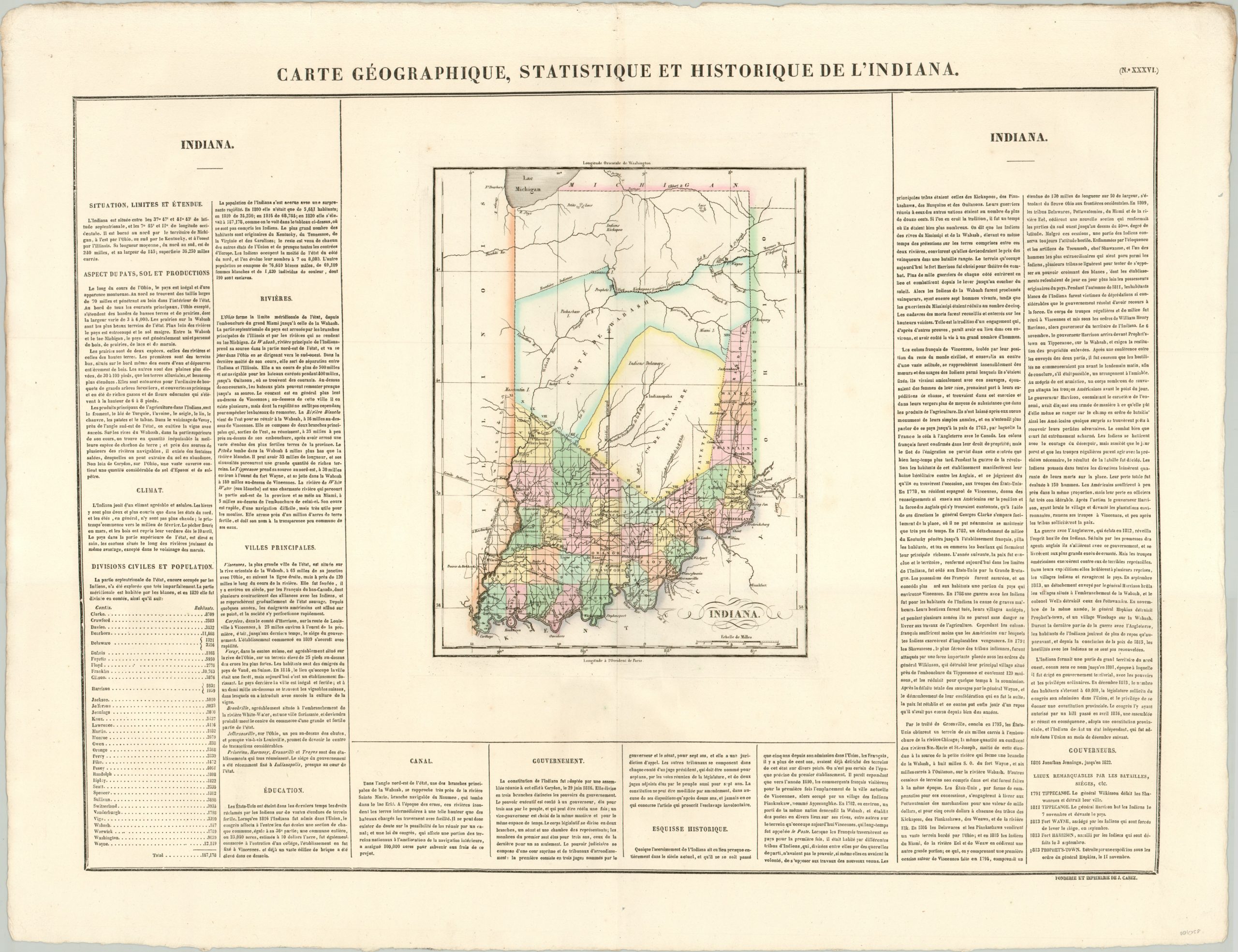
Carte Geographique, Statistique et Historique de L’Indiana
Original price was: $200.00.$145.00Current price is: $145.00.
The French version of Carey & Lea’s early map of Indiana.
1 in stock
Description
This is a fascinating map of Indiana published in Jean Alexandre Buchon’s Atlas Geographique, Statistique, Historique et Chronologique; the French edition of Carey & Lea’s atlas of the United States. It shows the Hoosier state less than a decade after statehood, at a period when gradual settlement was taking place from south to north.
Early towns along navigable rivers such as the Ohio and Wabash are connected with a rapidly developing network of roads and canals, while the northern portion of the state is largely empty with the exception of Native American villages and treaty lines. Flags are seen in several locations that played an important role during the War of 1812, such as Fort Wayne and Prophetstown (the site of the Battle of Tippecanoe). Surrounding the map are dense columns of French text which outline the geography, history, political organization, industry and infrastructure of the state.
Map Details
Publication Date: 1825
Author: Jean Alexandre Buchon
Sheet Width (in): 27.10
Sheet Height (in): 21.10
Condition: A
Condition Description: The map is in fine condition, with lovely old hand color on a thick, strong sheet. Some soiling along the top edge, well away from the image.
Original price was: $200.00.$145.00Current price is: $145.00.
1 in stock

