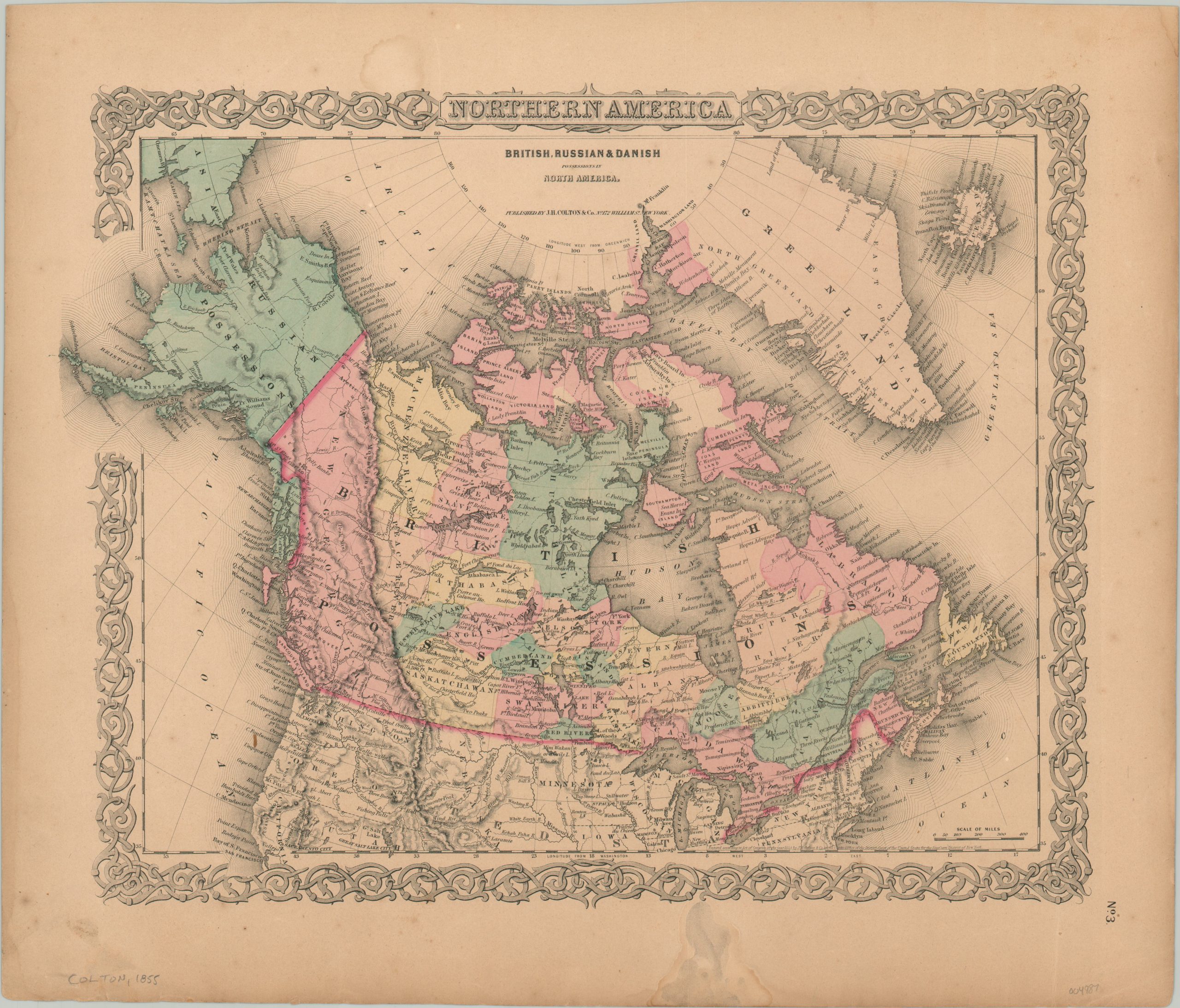
British, Russian, and Danish Possessions in North America
$60.00
America’s northern neighbors in the mid-19th century.
1 in stock
Description
This engaging overview of North America above the 45th parallel was published in New York by Joseph Hutchins Colton in 1855. Colton was an influential American cartographer in the second half of the 19th century, and his business was continued by his sons George Woolworth (G.W.) and Charles B. (C.B.) Colton after his death.
The image presents the colonial possessions of Russia, Britain, and Denmark; each occupying roughly the modern-day regions of Alaska, Canada, and Greenland, respectively. Topography is depicted in hachure, prominently emphasizing the Rocky Mountains running through the breadth of the continent. Several peaks are named.
Toponyms identify a fascinating variety of other geographic features and locations of interest, such as forts, Native American villages, and trading posts. Several places above the Arctic Circle were recently named by various explorers in search of Sir John Franklin’s lost expedition.
Map Details
Publication Date: 1855
Author: J.H. Colton
Sheet Width (in): 18.25
Sheet Height (in): 15.6
Condition: B
Condition Description: The sheet is moderately, but evenly, toned throughout and shows several spots of soiling in the margin (upper center, lower left, lower right). The last appears to be a former damp stain to which some cleaning has been applied. Within the neatline are a few scattered spots, but overall the image remains clean and in good shape, with original hand color. Good condition overall
$60.00
1 in stock

