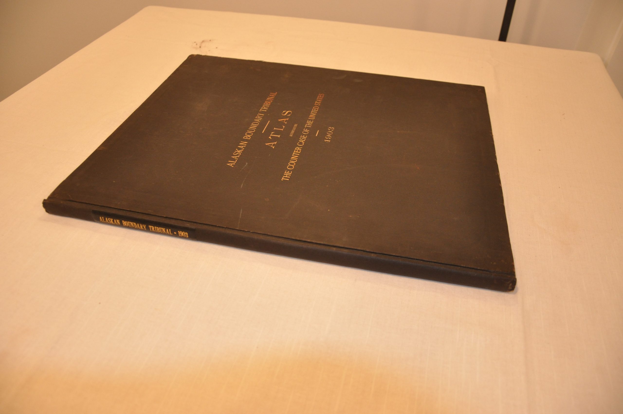
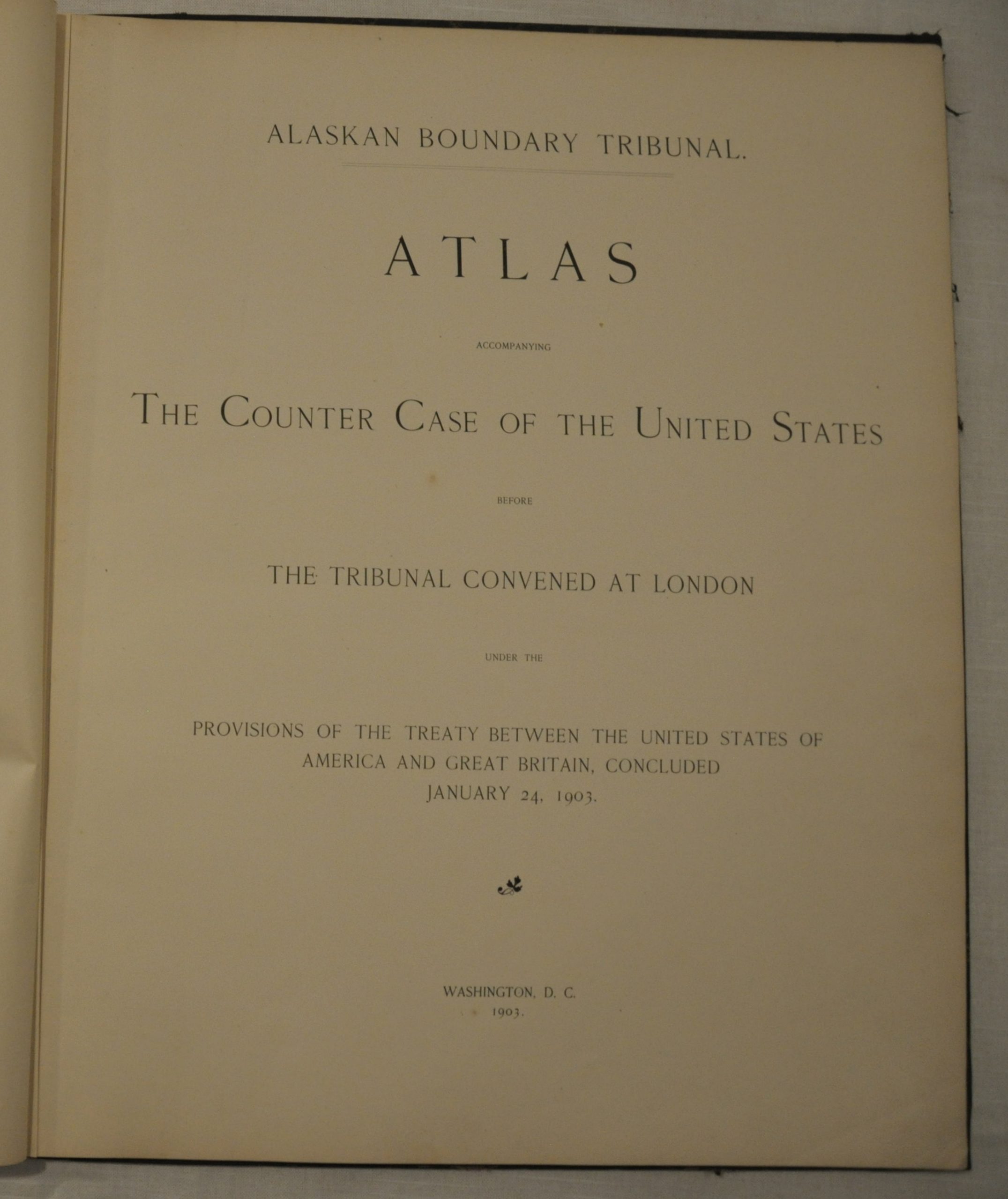
Atlas Accompanying the Counter Case of the United States
$300.00
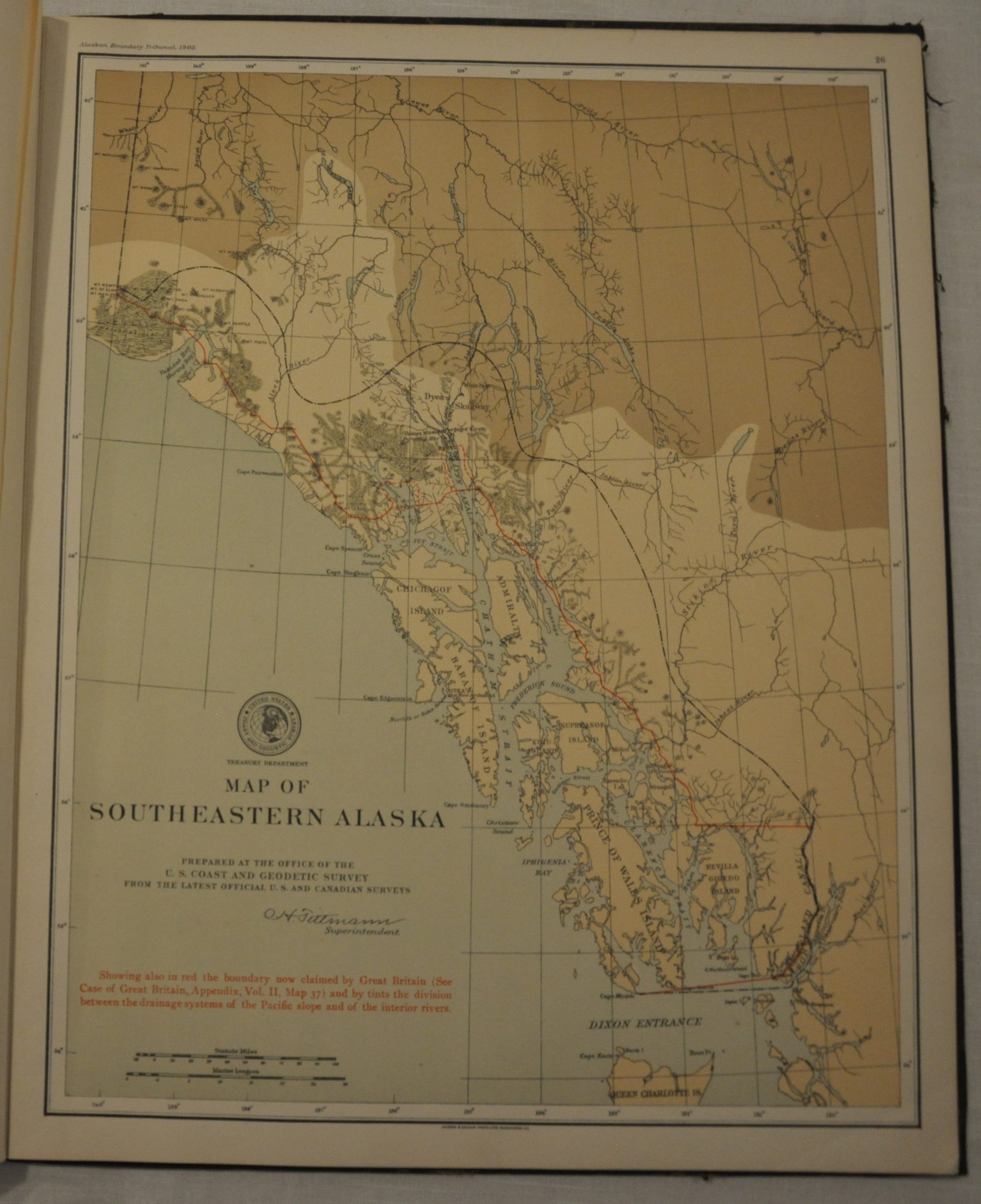
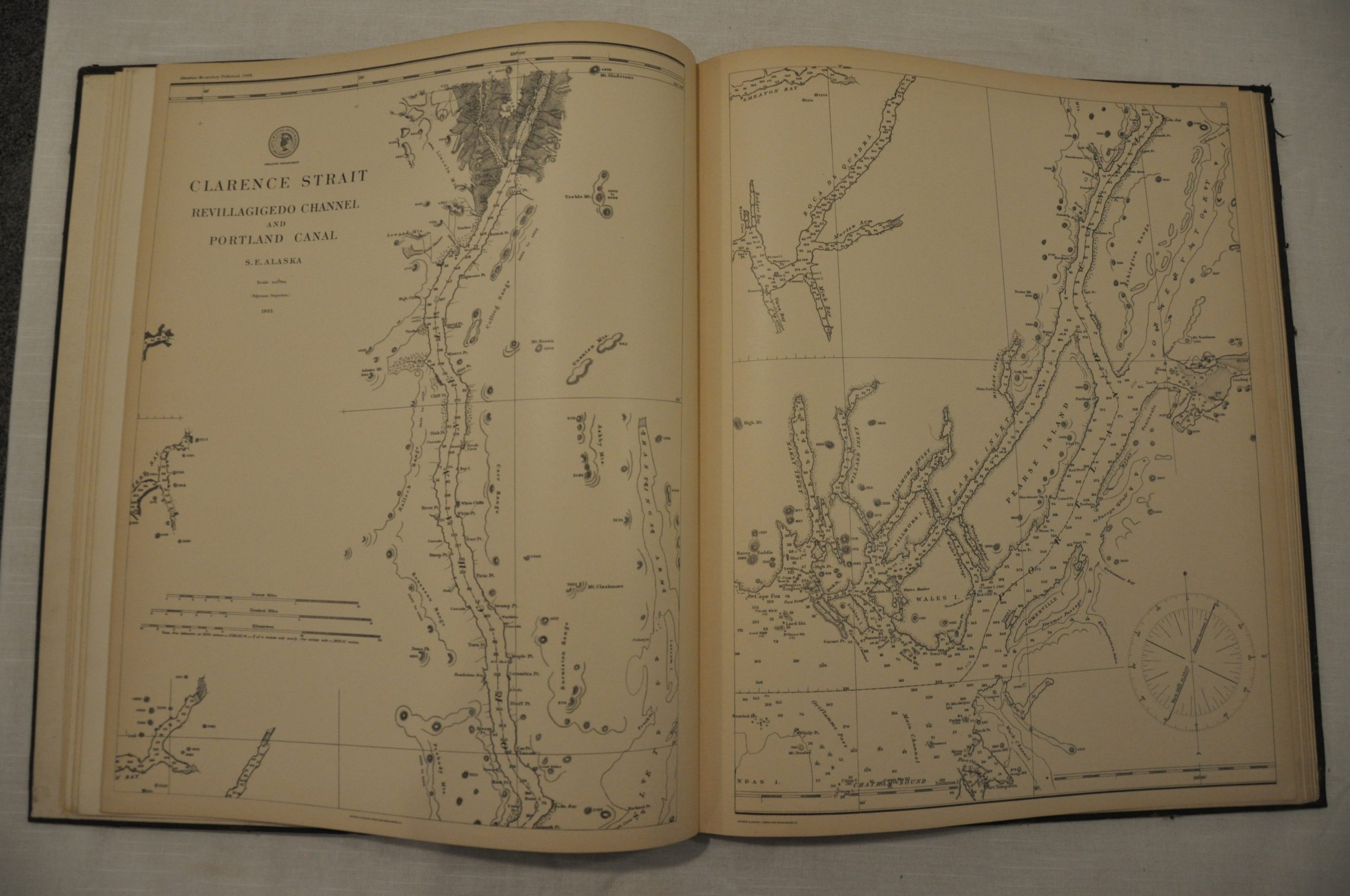
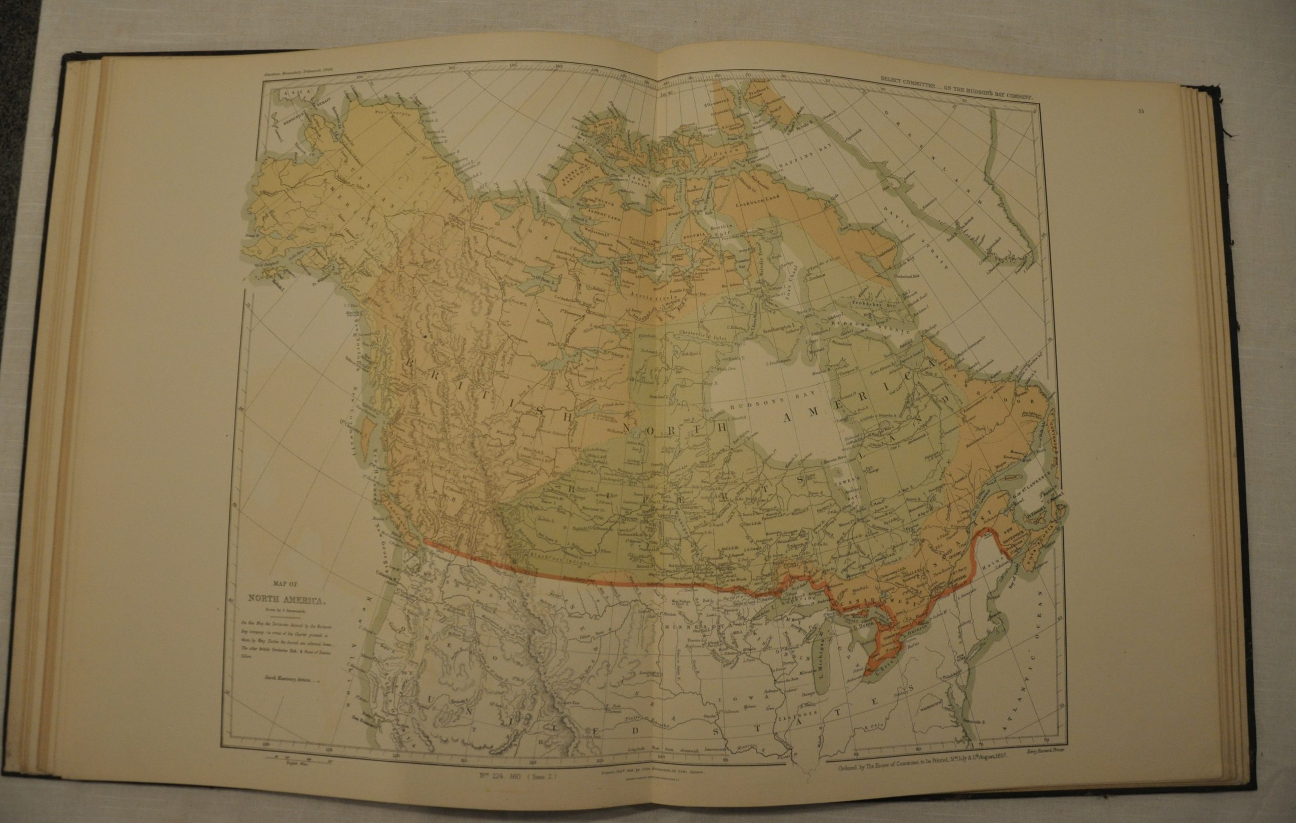
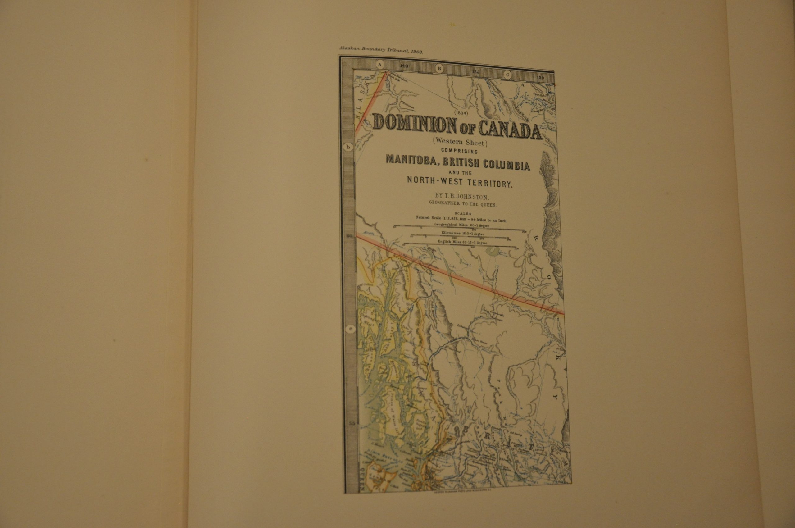
Compilation of maps favoring the U.S. side in ongoing border negotiations with Great Britain.
Description
Boundary disputes between the lands of northeast Canada and Alaska started between Russian and Britain as early as the 1820’s. When the U.S. acquired Alaska in 1867, it inherited those ongoing arguments. However, it wasn’t until the discovery of gold in the Yukon in 1896 that there was a real economic impetus to definitively establish a territorial border between Canada and Alaska’s southern coastline. Negotiations failed and stalled for several years, but in 1903 it was determined that an arbitration panel made up of six members would conclusively decide the dispute.
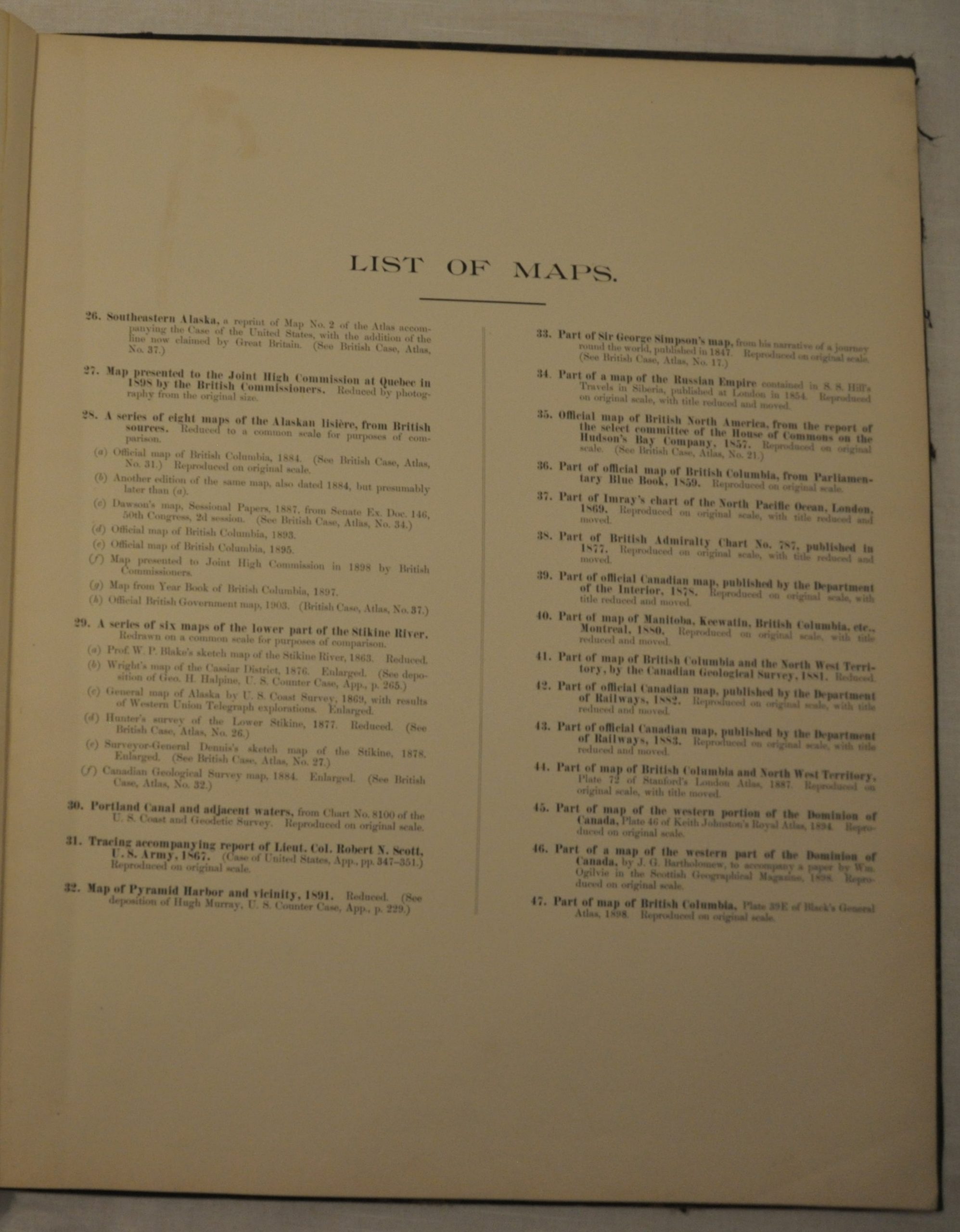
This atlas was published by the American delegation to the tribunal and includes numerous maps that support the American claims. These range from historic cartography establishing the basis for Russian settlement to English commercial publications and the latest geologic surveys. The maps original creators range from Arrowsmith to the U.S.G.S, but they have been reduced via photolithography by the firm of Andrew B. Graham. The production must have ultimately been convincing, as the panel would rule in favor of the United States and prevent an outlet to the sea for Yukon gold.
Map Details
Publication Date: 1903
Author: Alaskan Boundary Tribunal (Government Printing Office)
Sheet Width (in): 15
Sheet Height (in): 18
Condition: A-
Condition Description: The atlas is in very good to excellent condition, with original black gilt boards. Complete, 48 pages with 20 single page and 3 double page maps of Alaska and Canada. The maps exhibit minor offsetting and faint soiling in the outer margins, but are in near fine condition. Photolithographed color on thick paper.
$300.00


