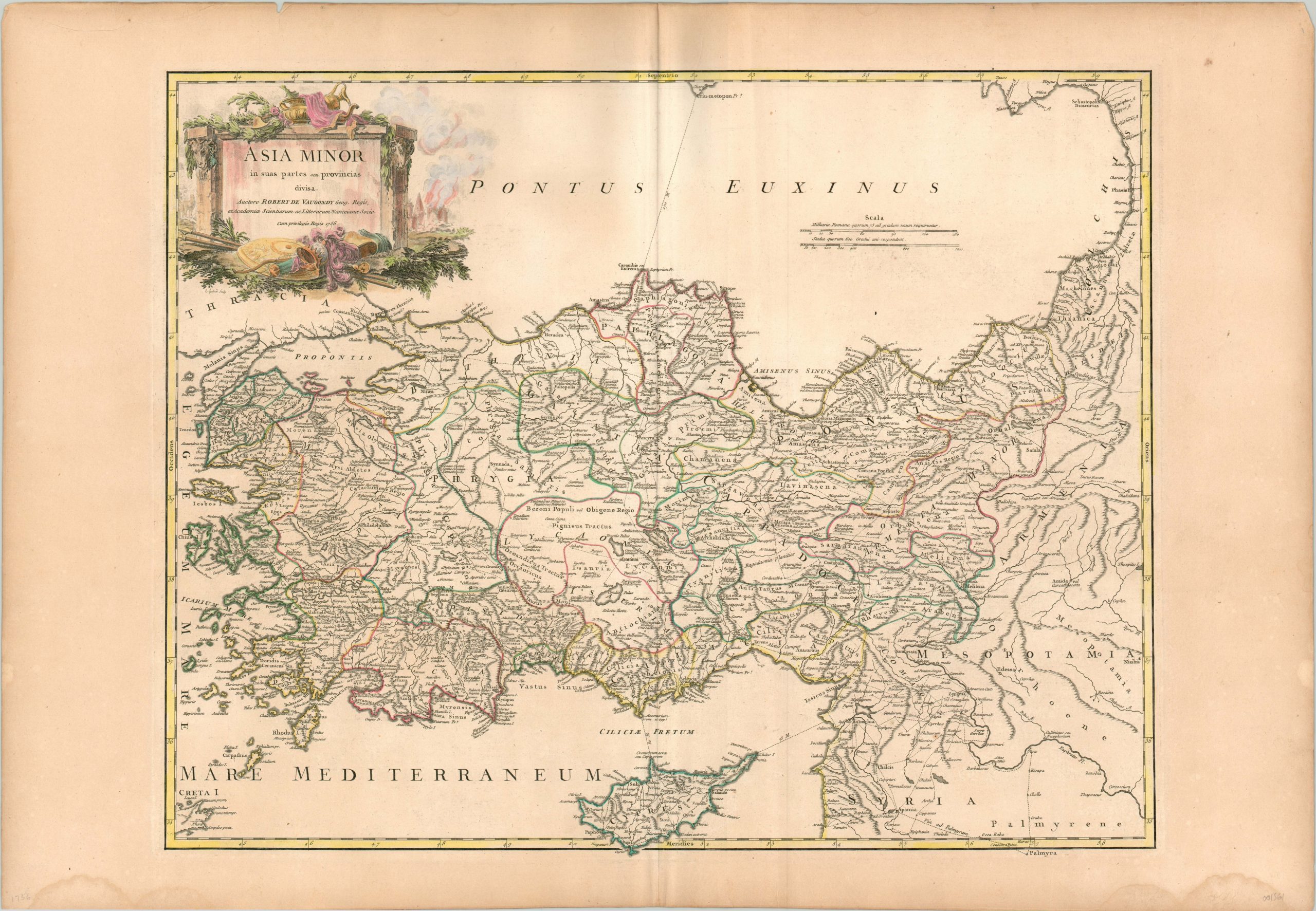
Asia Minor in sus partes seu provincias divisa
$250.00
Lovely map of Asia Minor published by Robert de Vaugondy.
1 in stock
Description
This lovely copperplate engraved map includes Asia Minor between the Bosporus Strait and the Caucasus, and from the Black Sea to the Mediterranean (including Cyprus). It shows a bewildering mix of historic and contemporary place names and political organization, with trade routes (both modern and ancient) noted in hashed lines. Pictorial relief gives little indication of the rugged and varied regional topography.
A decorative cartouche in the upper left includes many elements of Classical Antiquity; including a weapons, armor, and an amphora. A burning city can be seen faintly in the background, perhaps a reference to the fall of Constantinople to the Ottoman Empire in 1453. The holy city and former Roman capital was still under Turkish control at the time of publication in the mid-18th century, and had long been coveted by Christian monarchs across Europe.
The map was published in Paris by Robert de Vaugondy in 1756 for the 1757 edition of his Atlas Universel.
Map Details
Publication Date: 1756
Author: Robert de Vaugondy
Sheet Width (in): 31.90
Sheet Height (in): 21.90
Condition: A-
Condition Description: Damp stains in the lower corners of the margins, well away from the image. Creasing along the vertical centerfold and a few small tears along the outer edges. A bold impression issued on thick, watermarked paper with lovely hand color.
$250.00
1 in stock

