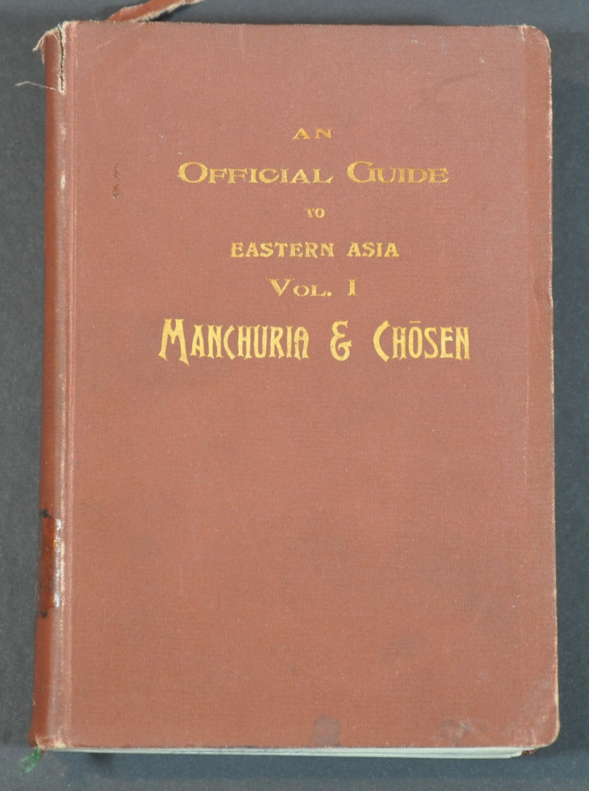
An Official Guide to Eastern Asia Vol. I Manchuria & Chosen
Railroads as a mechanism for expanding Japanese imperial ambitions.
Out of stock
Description
The Empire of Japan’s victory over China’s Qing dynasty in the First Sino-Japanese War (1895) shifted the balance of power in east Asia to the side of the winners. Possession (albeit temporary) of the vital port of Dalian, the addition of Korea as a tributary state (officially annexed by Japan in 1910), and the subsequent invasion of Taiwan were propelled by political factors and the need for vital resources.
Railroads were quickly constructed to connect the various parts of the Japanese sphere of influence, even in foreign countries, and a series of guidebooks were issued in the first quarter of the 20th century to promote railway tourism. This volume, the first, covers the Chinese territory of Manchuria, Chosen (Japanese-controlled Korea), and the Liaodong Peninsula.
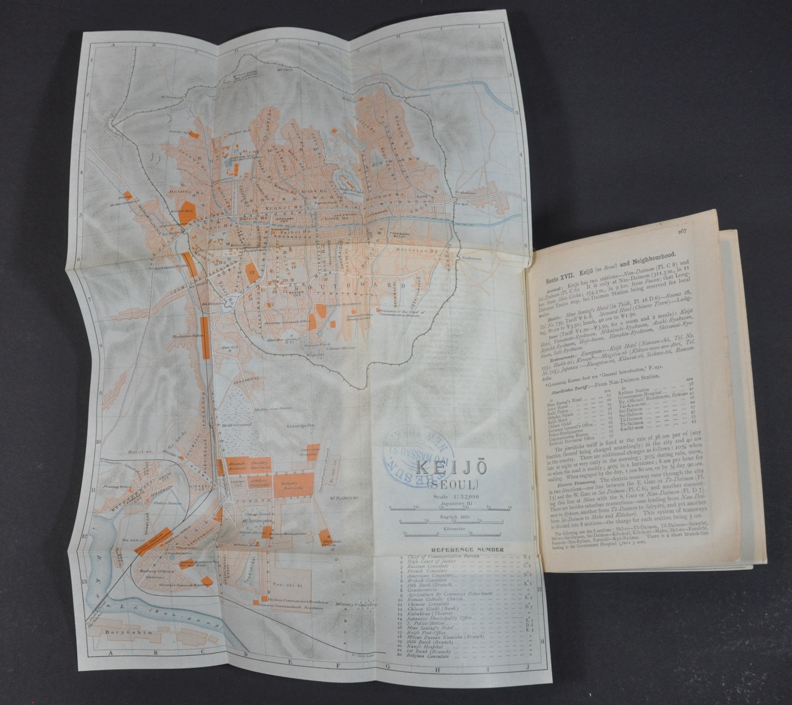
Numerous folding maps and photographs emphasize Japanese contributions to the region, and lay the groundwork for future imperial ambitions in Manchuria. The maps include “A General Map of the Transcontinental Routes between Asia and Europe” and numerous city plans covering Dalian, Seoul, Pyongyang, and more.
Map Details
Publication Date: 1913
Author: Imperial Japanese Government Railways
Sheet Width (in): See Description
Sheet Height (in): See Description
Condition: B+
Condition Description: 350 pp. + i-lxxxvi measuring approximately 4.25" x 6.25" and bound in gilt red cloth covers. Spine is broken and the first several pages are affixed to the front cover as a result. Old booksellers stamps throughout. Includes 15 fold-out maps, though lacking at least one - the large folding map in the back pocket. Several of the maps have become loose from the binding and have moderate discoloration along fold lines.
Out of stock


