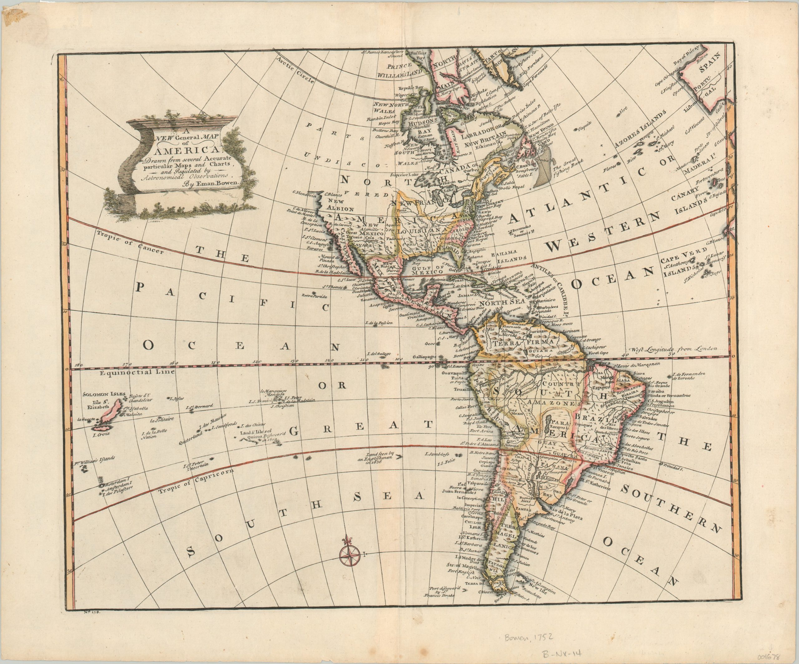
A New General Map of America
$675.00
Simplified overview of the New World issued shortly before the French and Indian War.
1 in stock
Description
This attractive copperplate engraved map was issued by Emanuel Bowen in 1752 and shows the Western Hemisphere; including a small portion of Europe and Africa, as well as the Cape Verde, Canary, Azores, and Solomon Islands. Hawaii is notably absent, as the map predates Cook’s expeditions by over two decades, and there are several mythical islands in both the Atlantic and Pacific Oceans.
Generally, interior details are sparse, with simple topography shown pictorially and the Rio de la Plata and Amazon Rivers greatly exaggerated (at least compared to the Mississippi). In North America, the East Coast and Hudson’s Bay are relatively well mapped, but the same cannot be said for the Central Plains or Pacific Northwest, which displays a huge territory labeled ‘Parts Undiscovered.’ Off the coast of Newfoundland, the Grand Banks are prominently featured.
Though France would lose the vast majority of it’s North American possessions in the upcoming Seven Years’ War (known as the French and Indian War in the U.S.), seasonal fishing rights to this bountiful underwater plateau would be preserved by the Treaty of Paris in 1763.
Map Details
Publication Date: 1752
Author: Emanuel Bowen
Sheet Width (in): 19.75
Sheet Height (in): 16.25
Condition: A
Condition Description: Three spots in the lower margin and a stain in the upper right corner, all well away from the image. Soft creasing along vertical centerfold. Near fine condition, with attractive hand color.
$675.00
1 in stock

