A Map of Historic Baltimore
Encouraging tourism to Baltimore near the end of the Great Depression.
Out of stock
Description
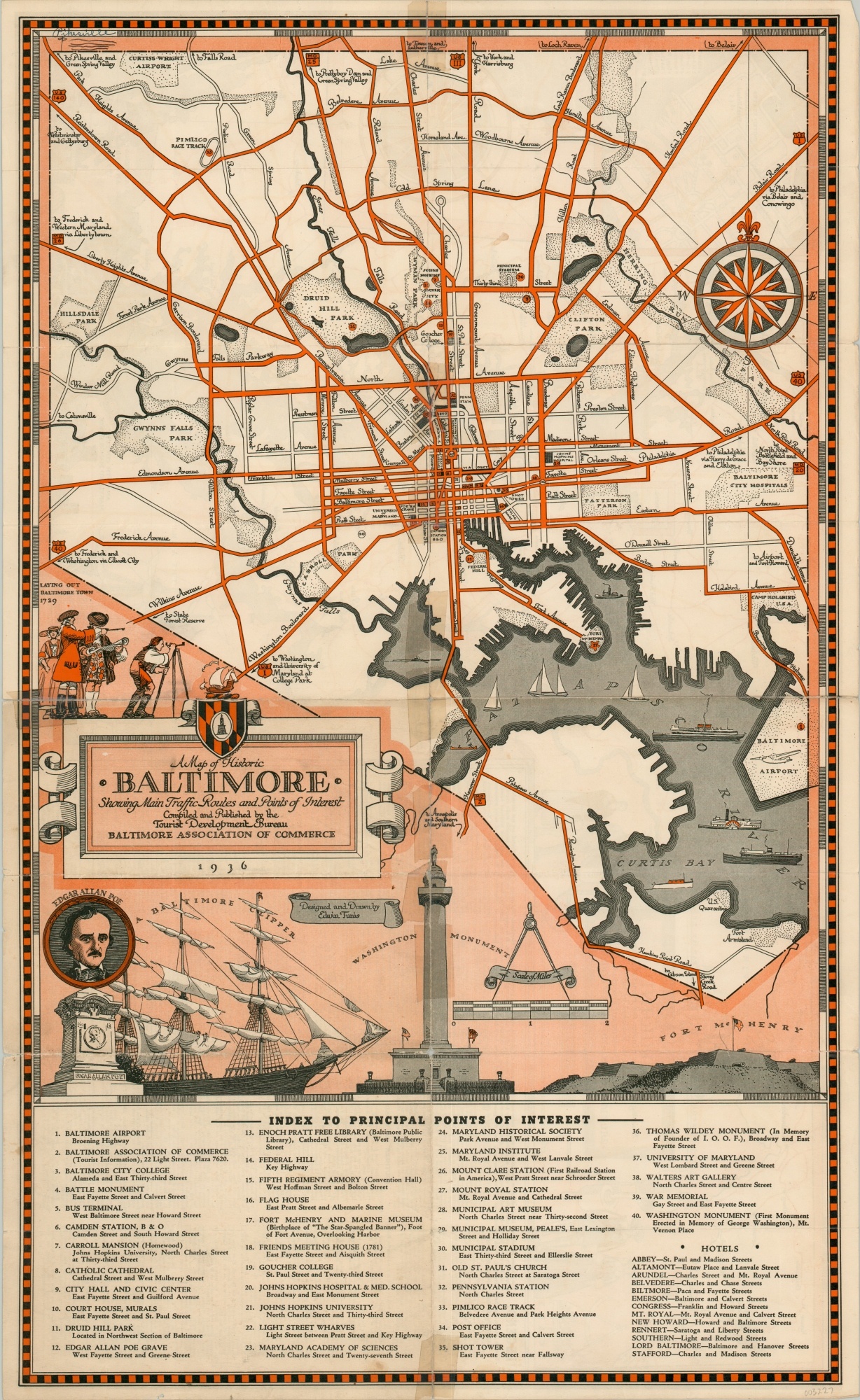
Designed and drawn by the talented Edwin Tunis and distributed by the Baltimore Chamber of Commerce in 1936, this map presents an effective form of tourism promotion from the mid-1930s. A legible street plan featuring bright color shows numbered locations of interest, primary transportation routes, and popular areas of recreation.
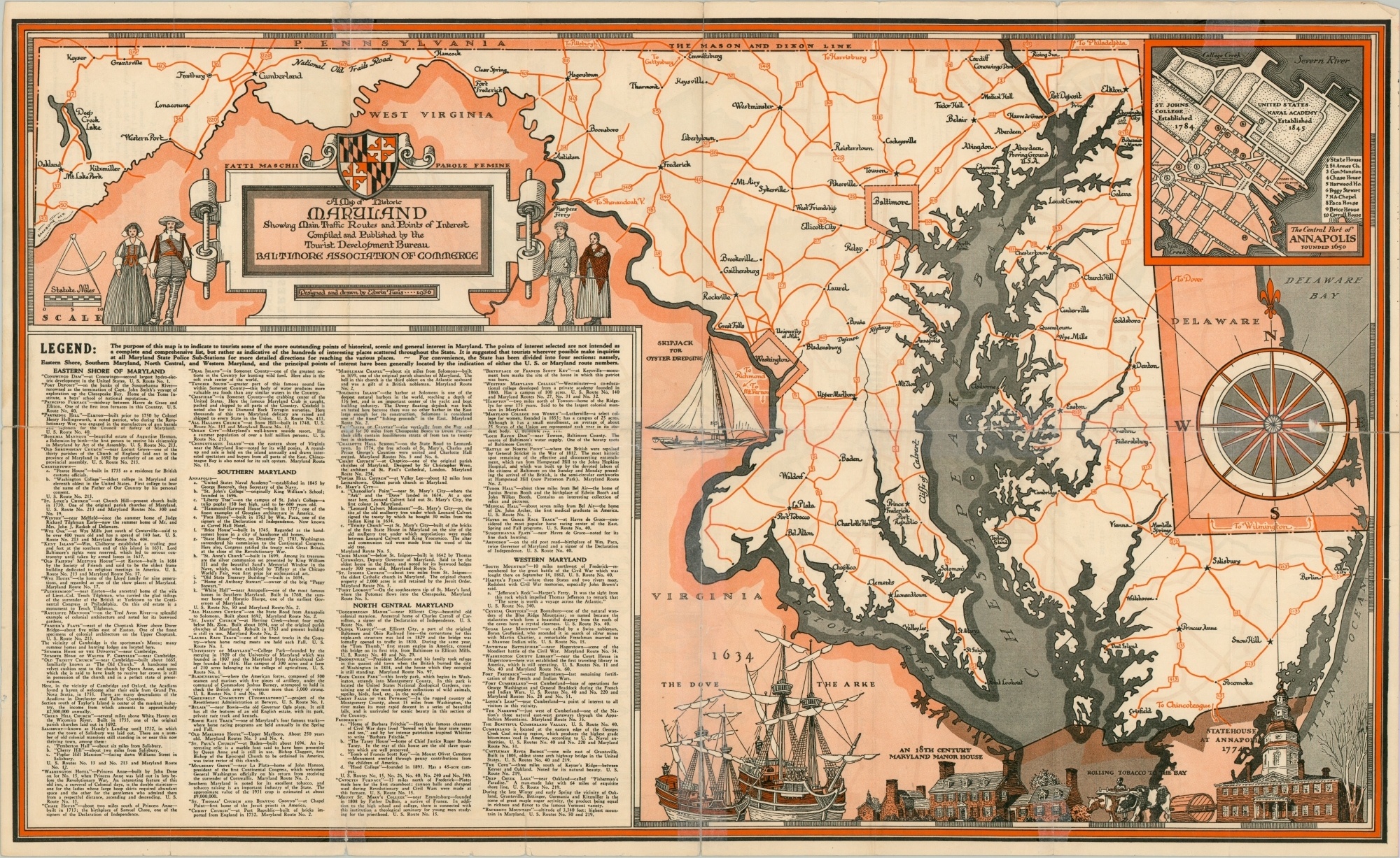
Decorative elements harken to the region’s rich history, though modern amenities like hotels, highways, and airports are also included. The verso presents a similar map of the state of Maryland, with an inset map of Annapolis and list of regional attractions.
Map Details
Publication Date: 1936
Author: Edwin Tunis
Sheet Width (in): 16.6
Sheet Height (in): 27.2
Condition: B
Condition Description: Moderate wear and creasing along former fold lines. Old cellophane tape repairs on one side, archival tape repairs on the other, to stop separation along folds. Numerous small edge tears and discoloration confined to the margins. Fair to good condition overall.
Out of stock


