Government Printing Office
Showing 127–144 of 178 results
-

Waukegan Harbor, Illinois
$95.00 Quick View -
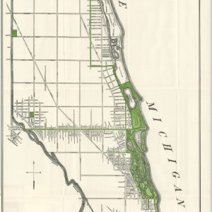
Map of Lincoln Park District Showing Present Park Area and Proposed Extensions
$240.00 Quick View -
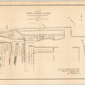
Map and Plan of Chicago Harbor, Illinois.
$250.00 Quick View -

Diagram of the State of Illinois
$110.00 Quick View -

Index Map Survey of 1899 – Sheets 1 to VII showing Location of Chicago Drainage Canal
$200.00 Quick View -
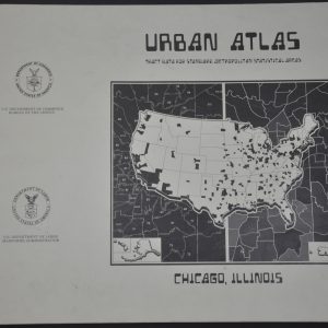
Urban Atlas Chicago, Illinois
Quick View -

Complete Set of Six NavWarMaps
Quick View -

Four Approaches to Japan
$250.00 Quick View -

Tentative Technical Manual Use of Foreign Maps
$50.00 Quick View -

A Short Guide to Great Britain
Quick View -

Elementary Map and Aerial Photograph Reading
$45.00 Quick View -
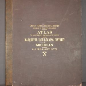
Atlas to Accompany Monograph XXVII on the Marquette Iron-Bearing District of Michigan
$250.00 Quick View -

Twentieth Annual Report of the United States Geological Survey…Part VII – Explorations in Alaska in 1898
Quick View -
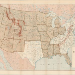
Map of the United States and Territories.
$125.00 Quick View -

Reconnaissance Maps (Six Sheets and Profile) Showing the general features of the topography adjacent to the 49th parallel from the Lake of the Woods to the Rocky Mountains.
$300.00 Quick View -
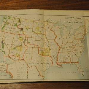
The Louisiana Purchase and Our Title West of the Rocky Mountains
$200.00 Quick View -
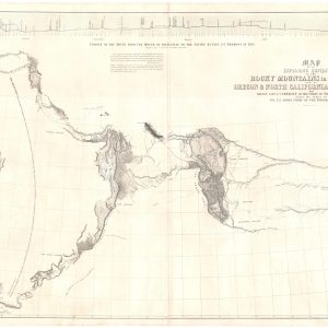
Map of the Exploring Expedition in the Rocky Mountains in the Year 1842 and to Oregon & North California in the Years 1843-44.
Quick View -
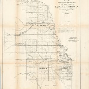
Map Showing the progress of the Public Surveys in the Territories of Kansas and Nebraska
$150.00 Quick View