Government Printing Office
Showing 91–108 of 178 results
-

Topographical and Underground Plan of the Cliff Mine Situated on Keweenaw Point
Quick View -

Map of the Yosemite National Park Prepared for Use of U.S. Troops by N.F. McClure 1st Lieut. 5th Cavalry
$129.00 Quick View -

Milk River to the Crossing of the Columbia River
Quick View -

Report of Explorations Across the Great Basin of the Territory of Utah
Quick View -
Sale!

Report of the United States Geological Exploration of the Fortieth Parallel Made by Order of the Secretary of War
Original price was: $9,000.00.$6,000.00Current price is: $6,000.00. Quick View -
Sale!

[Maps of the Ohio Boundary Question – The Toledo War]
Quick View -
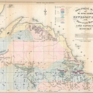
[Geologic Maps of Michigan’s Upper Peninsula]
Quick View -
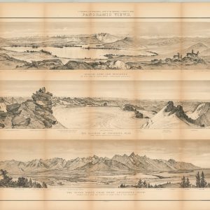
Maps and Panoramas: Twelfth Annual Report of the United States Geological and Geographical Survey of the Territories
Quick View -

Hydrographical Basin of the Upper Mississippi River
Quick View -

Public Surveys in Iowa
Quick View -
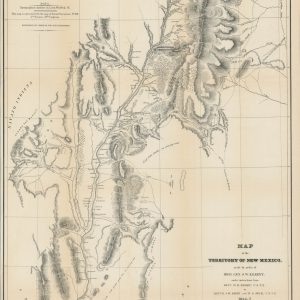
Map of the Territory of New Mexico made by order of Brig. Gen. S.W. Kearney
$695.00 Quick View -

Diagram of the Surveying District South of Tennessee
$250.00 Quick View -

Harbour of Bridgeport, Conn.
$75.00 Quick View -
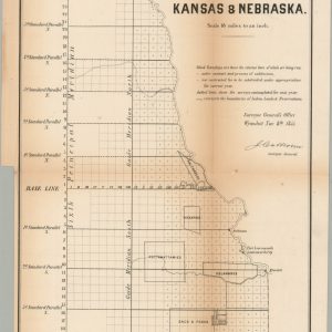
No. 1 Sketch of the Public Surveys in Kansas & Nebraska
$250.00 Quick View -
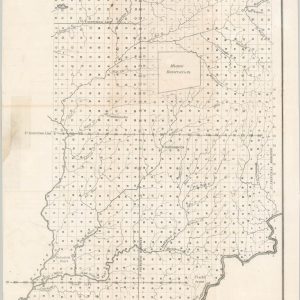
A Sketch of the Public Surveys in Indiana
$65.00 Quick View -

Index to Recorded Township Plats Indiana
$59.00 Quick View -
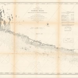
Preliminary Coast Chart No. 70 Florida Reefs from Long Key to Newfound Harbor Key
$125.00 Quick View -

Preliminary Chart of Port Royal Entrance Beaufort and Chechesse Rivers South Carolina
$175.00 Quick View