Survey
Showing 235–252 of 571 results
-
 Sold Out
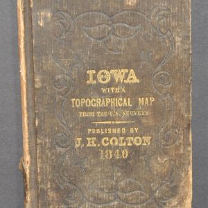
Map of the Surveyed Part of Iowa Exhibiting the Sections, Townships & Ranges [with] Iowa with Topographical Map
Quick View -

Map of the United States and Their Territories Between the Mississippi and the Pacific Ocean and Part of Mexico
$800.00 Quick View -
 Sold Out
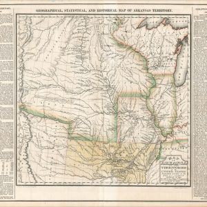
Map of Arkansas and Other Territories of the United States
Quick View -
Sale!
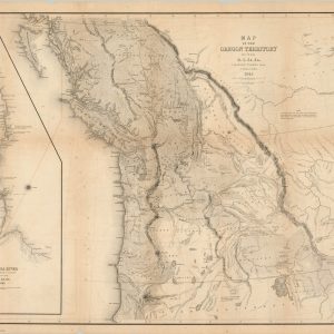
Map of the Oregon Territory by the U.S. Ex. Ex.
$2,750.00Original price was: $2,750.00.$2,100.00Current price is: $2,100.00. Quick View -

Nell’s Topographical Map of the State of Colorado
$750.00 Quick View -

Carte du Mississippi Depuis sa Source jusqu’a L’Embouchure de Missouri…
$1,100.00 Quick View -
Sale!

Course of the River Mississippi from the Balise to Fort Chartres
$4,500.00Original price was: $4,500.00.$3,900.00Current price is: $3,900.00. Quick View -
 Sold Out
No. 2 (C) Diagram of the State of Illinois
Quick View -
 Sold Out
Public Surveys in Iowa
Quick View -

Sketch Shewing the Route of the Recent Arctic Land Expedition
$80.00 Quick View -
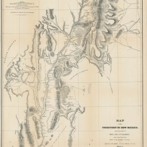
Map of the Territory of New Mexico made by order of Brig. Gen. S.W. Kearney
$695.00 Quick View -
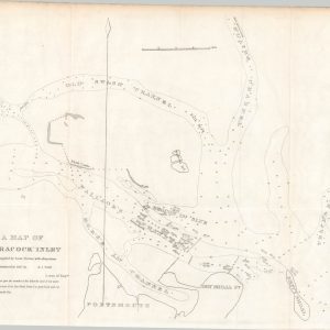
A Map of Ocracock Inlet [North Carolina]
$65.00 Quick View -

Diagram of the Surveying District South of Tennessee
$250.00 Quick View -

Harbour of Bridgeport, Conn.
$75.00 Quick View -

Discoveries of the American Arctic Expedition
$45.00 Quick View -
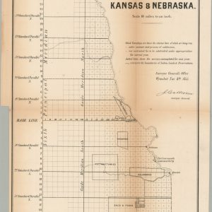
No. 1 Sketch of the Public Surveys in Kansas & Nebraska
$250.00 Quick View -
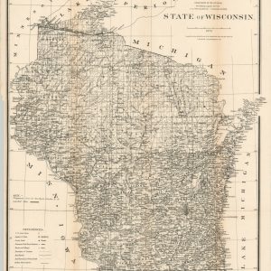
State of Wisconsin
$95.00 Quick View -
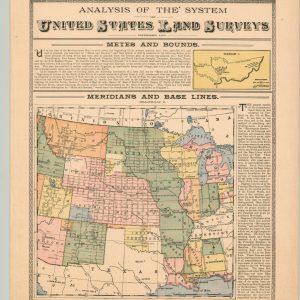 Sold Out
Analysis of the System of United States Land Surveys
Quick View
show blocks helper