U.S. Northeast
Showing 199–216 of 594 results
-
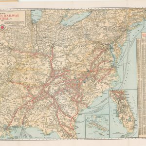
Map of the Southern Railway System
$90.00 Quick View -
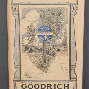
New York Goodrich Route Book
$225.00 Quick View -
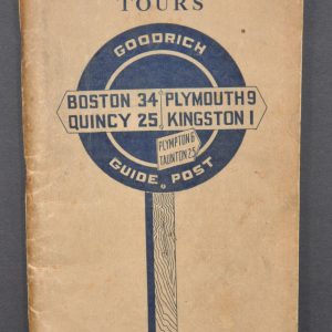
New England Tours [Goodrich Route Book]
$225.00 Quick View -
 Sold Out
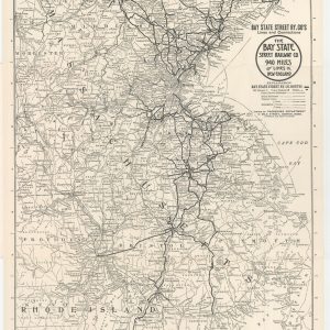
The Bay State Street Railway Company 940 Miles of Lines in New England
Quick View -
 Sold Out
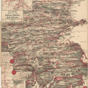
Bird’s Eye View of Trolley Routes in New England
Quick View -

Territory Reached by Eastern Steamship Company and its Connections [and] Map of Eastern Steamship Company Showing Approaches to Mount Desert
$419.00 Quick View -
Winnipeg, Can. – Niagara Falls, N.Y. Highway Strip Map
$45.00 Quick View -
 Sold Out
Highways Map of Eastern Canada and Adjacent States
Quick View -
Sale!

Hammond’s Auto Route Map of Long Island [Title on Front Cover]
$700.00Original price was: $700.00.$550.00Current price is: $550.00. Quick View -

New York “The Empire State”
$150.00 Quick View -
Nickel Plate Road
$70.00 Quick View -

Interurban Lines of the Pittsburgh Railways Company and Connecting Lines
$75.00 Quick View -
Atlantic Road Map Pennsylvania – Delaware [Title on Verso]
$80.00 Quick View -

The Niagara Belt Line. Around the Falls and Through the Famous Gorge
$125.00 Quick View -
 Sold Out
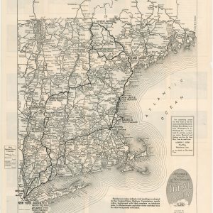
Automobile Map of New England Showing the Ideal Tour
Quick View -

Rand McNally Official 1920 Auto Trails Map District Number 6 New England Eastern New York
$150.00 Quick View -
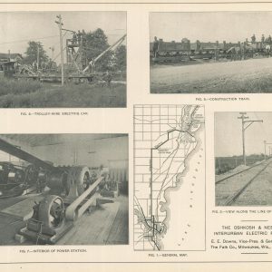
The Oshkosh & Neenah Interurban Electric Railway
$95.00 Quick View -
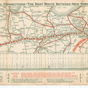
The National Highway with Principal Connections – The Best Route Between New York, Chicago, St. Louis, and Kansas City.
$129.00 Quick View
show blocks helper